Google Earth Timelapse:変化を観察する
過去35年間で地球がどのように変化してきたのかを観察します。
Lesson Overview

Observe how the world has changed over time
Googleでは1984年まで遡る膨大な衛星画像にアクセスすることができます。それはUSGS/NASAのランドサットプログラムとヨーロッパのセンチネルプログラムにより取得された1500万点を超える衛星画像で構成されます。
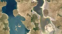
Earth Timelapseは、グローバルにズーム可能なツールで、これを用いることによって過去34年間にわたる地球の表面の変化を雲に遮られることなく観察できます。
- タイムラプスの入門
- 場所を見つける
- タイムラプスを共有する
- タイムラプスのビデオライブラリー
For more Environmental Journalism lessons, visit:
newsinitiative.withgoogle.com/training/course/environmental-journalism
Introduction to Timelapse
衛星データにアクセスして、世界の変化の様子がかつては地理学者の扱う領域だったことをご覧いただきます。Earth Timelapseによって雲のない衛星画像をポイント&クリックの簡単な操作で見つけ、共有することができます。
これらの画像はNASAとヨーロッパの宇宙機関のデータベースから入手しています。画像の大部分は、1970年代以降の地球を観察してきた、ランドサットによるアメリカ合衆国の地理調査とNASAの共同プロジェクトによるものです。
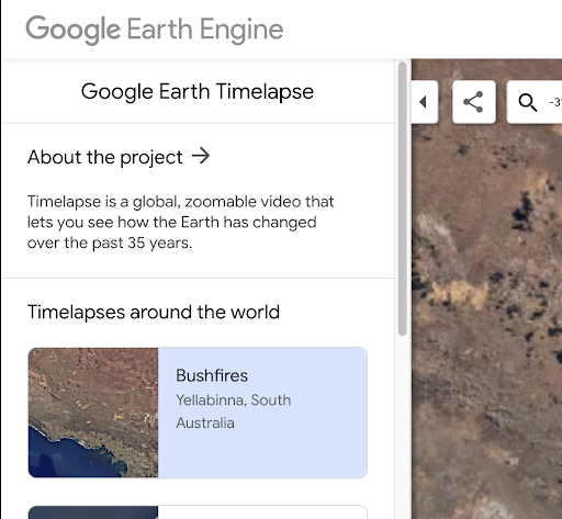
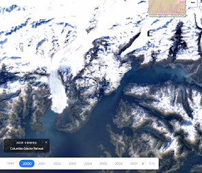
左側の列にはツールの可能性を示す、事前作成されたいくつかの例が示されています。これらの中には次の衛星画像があります:オーストラリアの低木地帯の火災ドバイの沿岸拡張アラスカの氷河後退上部の矢印によってこのパネルを非表示にできます。
下部に沿って配置されたスライダーには、現在表示している年が示されます。再生/一時停止を押すと、衛星画像はスクロールによって表示中の年を青色に強調表示しながら切り替わりますます。
スライダーの右側では再生速度を調節できます。
場所を見つける
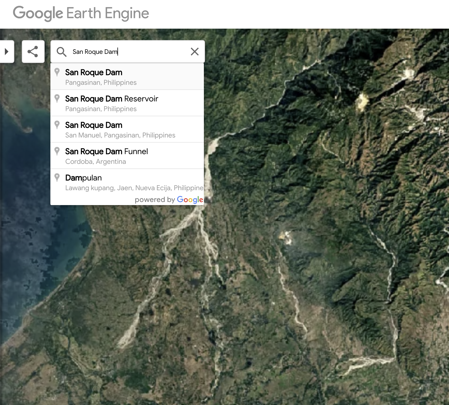
Find a location
左上の検索バーはGoogle Mapsにより提供されています。世界中のどのような場所でも検索できます。「enter Timelapse」をクリックすると直接その場所に移動できます。
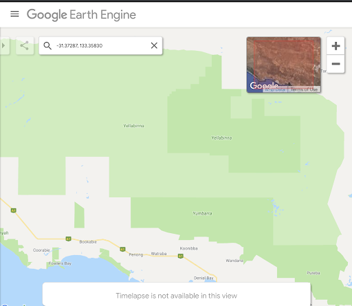
右上のコンテキストマップをクリックして「Maps Mode」と入力します。
タイムラプスを共有する
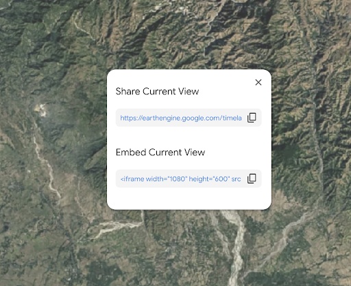
興味の持てる地域を見つけたら、左上の共有アイコンをクリックするとビューを共有または埋め込みできます。あなたのビューまたはタイムラプスをストーリーの中に配置できる、埋め込みコードへの直接リンクを共有するオプションが用意されています。
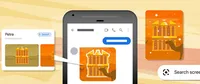
タイムラプスビデオを使用する
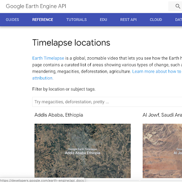
タイムラプスビデオライブラリーには、ストーリーで使用できるプリレンダリングされている300点を超える4Kビデオが用意されています。
ビデオの検索に使用できるのは
これらのビデオは、森林伐採、採掘などの場所またはテーマによって検索できます。
おめでとうございます!
を終了されました。
引き続きデジタルジャーナリズムのスキルを磨き、Google News Initiative認証に向かって努力するには、訓練センターのウェブに移動して、別のレッスンを受けてください:
For more Environmental Journalism lessons, visit:
newsinitiative.withgoogle.com/training/course/environmental-journalism