
Introduction to Google Earth Studio
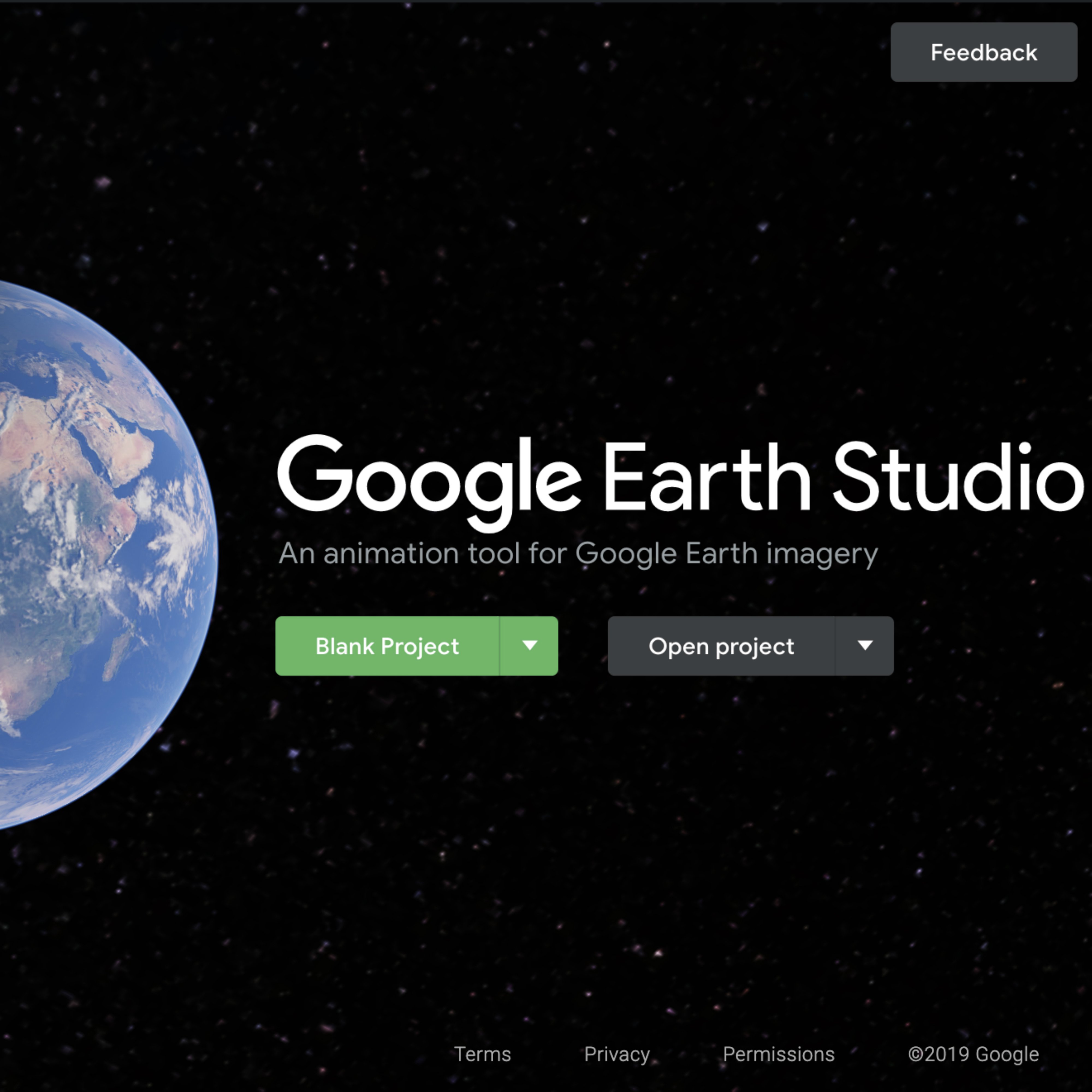
A fully functional animation studio for Google Earth imagery.
Lesson Overview
Use Google’s most advanced animation tool
Earth Studio is the most advanced animation tool for accessing Google’s satellite imagery. Plot fly-throughs, zoom from point to point, or even planet to planet.
- Access the online training for Earth Studio
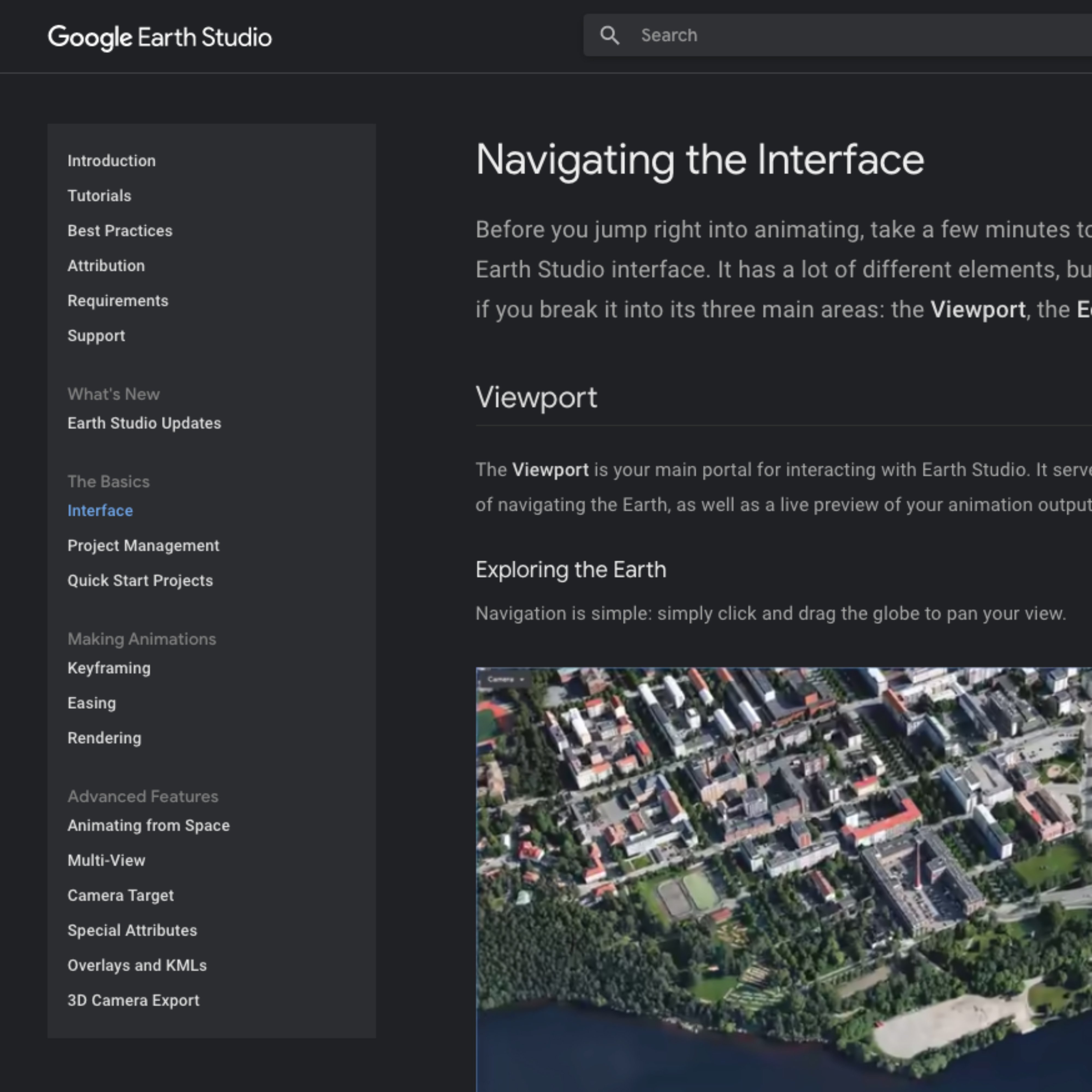
You may be familiar with Google Earth, but Google Earth Studio is different. This tool is for animating geospatial information to create still and video content from our satellite and 3D imagery. Earth Studio is free to use for news, research, education, and nonprofit use.We have built an extensive site that includes tutorials for Earth Studio. Among them, you can learn about: key-frame animations, animatable effects and 3D camera export. You can also learn via our quick-start projects. To access all of the Google Earth Studio tutorials, click here.
Congratulations!
You completed “Introduction to Google Earth Studio”
To continue building your digital journalism skills and work toward Google News Initiative certification, go to our Training Center website and take another lesson:
For more Storytelling with Google Earth lessons, visit:
http://newsinitiative.withgoogle.com/training/course/storytelling-with-google-earth
-
![ElectionVisualisationsLinkedToGoogleSheets]()
Election visualizations linked to Google Sheets
課程Keep your election visualizations live by linking them to Google sheets -
![YouTube Thumbnails (20)]()
影片:《專為記者打造的 Google 地球和地圖繪製技術》(Google Earth and mapping technologies for journalists)
課程探索記者如何運用 Google 地球和地圖繪製技術 -
![image23_3AtCaUp.jpg]()