


5 minutes to complete
Video: Google Earth and mapping technologies for journalists

From identifying your local high street to a story happening on the other side of the world – discover how journalists can use Google Earth and mapping technologies.
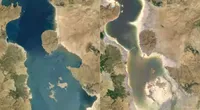
Around the world, wildfires, flooding and other extreme weather events continue to affect our health, our economies and our future together on our planet. Explore the tools to help tell the story. Use tools and resources to help you find, verify and tell engaging stories.
Congratulations! You've just finished
Video: Google Earth and mapping technologies for journalists
in progress
Recommended for you
-
![GoogleFinance_ResearchCompanyPerformance]()
Google Finance: Research company performance
LessonGoogle Finance allows you to track companies across 53 exchanges on five continents. -
![GO801_GNI_AdvancedReverseImageSearch_TitleCard.jpg]()
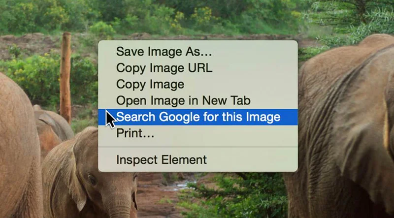
Verification: Advanced Reverse Image Search
LessonHow to separate genuine eyewitness accounts from misattributed content. -
How to make them using makestories.io
Lessonmakestories.io is a platform specially created to help people make, publish, and monetize Google Web Stories. It’s free, and it can be used with any content management system. Here are the basics of how to get started with makestories.io.

How would you rate this lesson?
Your feedback will help us to continuously improve our lessons!